Google-backed FireSat puts its first operational wildfire satellites in orbit, but agency data access is still months away
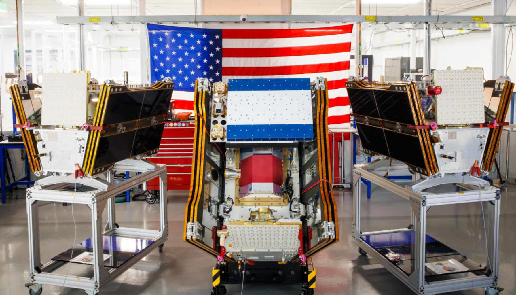
Image / arstechnica.com
Three satellites launched July 7 as smoke spread across North America; FireSat says testing will determine when early-adopter agencies can begin using its small-fire detection imagery.
The first three operational FireSat satellites reached orbit aboard a SpaceX Falcon 9 launch from Vandenberg Space Force Base in California on July 7, giving the Google-backed wildfire-monitoring program its initial operational capability.
That does not mean fire agencies are necessarily receiving live FireSat alerts today. The nonprofit Earth Fire Alliance, which manages the constellation, has set a three-month testing period before the satellites begin actively supplying data to agencies. It has said early adopters in California, Colorado, Australia, and Portugal should begin using the service this year.
The timing matters as smoke from hundreds of wildfires has spread through Canada and the United States. FireSat is designed specifically to find wildfires, including small or lower-intensity fires that other satellite systems can miss.
Muon Space built the microsatellites, each equipped with multispectral imaging intended to see through smoke and clouds. The program says the sensors can detect fires as small as 5 by 5 meters, or roughly 16 by 16 feet.
That claim is based partly on FireSat’s Protoflight satellite, launched in March 2025. The program says that spacecraft collected more than 1 million images and demonstrated detection of low-intensity blazes not visible to existing satellites.
For agencies, the practical appeal is earlier confirmation of a small fire before it grows into a major incident. Earth Fire Alliance says the initial three-satellite system is intended to scan every fire-prone region on Earth at least twice daily after testing. The organization’s longer-term target is hourly global imagery by 2029, followed by updates every 20 minutes once a full constellation of more than 50 satellites is in orbit in the early 2030s.
The catch is that FireSat’s most important promises remain future targets, not a service that emergency managers can yet treat as fully proven. The testing period will need to validate whether the operational satellites deliver usable alerts, how quickly agencies receive imagery, and how consistently the system detects fires under real smoke and cloud conditions. FireSat has not publicly set out the exact launch schedule or satellite count needed between this three-satellite deployment and its planned constellation of more than 50 spacecraft.
There is no consumer product or subscription to buy here. The costs are being carried by program backers, including more than $15 million from Google for initial deployment and a $26 million commitment from the Bezos Earth Fund. For taxpayers and agencies, the unanswered cost question is what long-term access, integration, and operational support will require as the system expands.
The privacy tradeoff appears less direct than with consumer imaging services, since FireSat is built for wildfire detection rather than household monitoring. Still, the program will collect broad multispectral imagery over fire-prone regions, and the rules governing access to, retention of, and sharing of that data have not been detailed in the announced operational plan.
For now, the right judgment is wait. The launch is a meaningful milestone for a potentially useful public-safety system, but agencies and the public should judge FireSat on validated detection performance and actual data availability after its three-month test period, not on its eventual 20-minute coverage goal.
- Google-backed satellites for wildfire detection launch as smoke chokes US, Canadaarstechnica.com / Mainstream / Published JUL 17, 2026 / Accessed JUL 22, 2026